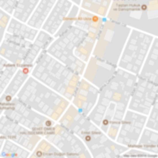
Ciudad Jardín is a neighborhood of the Chamartín district, situated in the northeast part of the city of Madrid and adjacent to the Salamanca district. It is located between Calle Calle Príncipe de Vergara, Avenida Ramón y Cajal and Calle López de Hoyos, the latter being one of the longest streets in the city and well-known for its great commercial activity.HistoryThe Ciudad Jardín neighborhood is historically linked to Prosperidad, having been a part of the same suburb since its origins in 1862. Since 1898, the present Ciudad Jardín was integrated into the Prosperidad neighborhoood, which belonged to the Buenavista district. In 1955 the town hall of Madrid added the town of Chamartín de la Rosa to the municipality as a new district, incorporating the Prosperidad neighborhood. A 1987 municipal decree divided Prosperidad in 2 different neighborhoods, Prosperidad and Ciudad Jardín, using the Calle de López de Hoyos as a limit, the commercial axis of the early neighborhood.DemographicsThe number of inhabitants in the last 10 years or so.TransportCercanías MadridThe closest station is Nuevos Ministerios in the El Viso neighborhood. There is no direct connection between the neighborhood and line 6 or line 8. Although it is much further, the Recoletos station does have a direct connection to the neighborhood on line 4.Madrid MetroThe 4 and 9 lines service the neighborhood as follows: The 4 line borders the neighborhood to the south with the Prosperidad and Alfonso XIII stations. The 9 line borders the neighborhood to the west with the Cruz del Rayo and Concha Espina stops.
 Ciudad Jardín (Madrid)
0 metros
Ciudad Jardín é um dos seis bairros do distrito de Chamartín, em Madrid, Espanha.Núme... Ciudad Jardín (Madrid)
0 metros
Ciudad Jardín es un barrio del distrito de Chamartín, situado en la zona noreste de l... Hispanoamérica (Madrid)
1 km
Hispanoamérica es un barrio del Distrito de Chamartín, situado en la zona noreste de ... El Viso (Madrid)
1 km
El Viso es un barrio ubicado en el distrito de Chamartín, situado en la zona noreste ... San Pascual (Madrid)
2 km
San Pascual is a ward of Madrid belonging to the district of Ciudad Lineal. San Pascual (Madrid)
2 km
El barrio de San Pascual, codificado como 15.5, forma parte del distrito de la Ciudad... Nueva España
2 km
Nueva España es un barrio del distrito de Chamartín, situado en la zona noreste de la... Castellana
2 km
Castellana es uno de los 6 barrios pertenecientes al distrito de Salamanca, en la ciu... Salamanca (Madrid)
2 km
El distrito de Salamanca es uno de los 21 distritos que forman el municipio de Madrid... Ventas
2 km
Ventas is a station on Line 2 and Line 5 of the Madrid Metro. It is located in fare Z... Ventas
2 km
Ventas est une station de métro à Madrid située face à Las Ventas à proximité de la r... Estación de Ventas
2 km
Ventas es una estación de las líneas 2 y 5 del Metro de Madrid (España) situada bajo ... Ventas
2 km
Ventas – stacja metra w Madrycie, na linii 2 i 5. Znajduje się w dzielnicy Salamanca,...
Ciudad Jardín (Madrid)
0 metros
Ciudad Jardín é um dos seis bairros do distrito de Chamartín, em Madrid, Espanha.Núme... Ciudad Jardín (Madrid)
0 metros
Ciudad Jardín es un barrio del distrito de Chamartín, situado en la zona noreste de l... Hispanoamérica (Madrid)
1 km
Hispanoamérica es un barrio del Distrito de Chamartín, situado en la zona noreste de ... El Viso (Madrid)
1 km
El Viso es un barrio ubicado en el distrito de Chamartín, situado en la zona noreste ... San Pascual (Madrid)
2 km
San Pascual is a ward of Madrid belonging to the district of Ciudad Lineal. San Pascual (Madrid)
2 km
El barrio de San Pascual, codificado como 15.5, forma parte del distrito de la Ciudad... Nueva España
2 km
Nueva España es un barrio del distrito de Chamartín, situado en la zona noreste de la... Castellana
2 km
Castellana es uno de los 6 barrios pertenecientes al distrito de Salamanca, en la ciu... Salamanca (Madrid)
2 km
El distrito de Salamanca es uno de los 21 distritos que forman el municipio de Madrid... Ventas
2 km
Ventas is a station on Line 2 and Line 5 of the Madrid Metro. It is located in fare Z... Ventas
2 km
Ventas est une station de métro à Madrid située face à Las Ventas à proximité de la r... Estación de Ventas
2 km
Ventas es una estación de las líneas 2 y 5 del Metro de Madrid (España) situada bajo ... Ventas
2 km
Ventas – stacja metra w Madrycie, na linii 2 i 5. Znajduje się w dzielnicy Salamanca,...Agregue este mapa a su sitio web;

Utilizamos cookies y otras tecnologías de seguimiento para mejorar su experiencia de navegación en nuestro sitio web, mostrarle contenido personalizado y anuncios dirigidos, analizar el tráfico de nuestro sitio web y comprender de dónde provienen nuestros visitantes.. Política de privacidad